🌊 Het Kanaal
Track © bemanning · kaart © OpenStreetMap
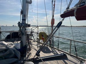
Calais to Dover
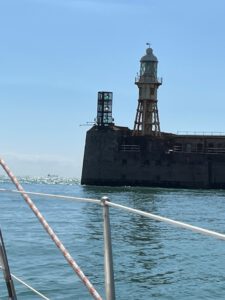
Dover to Calais
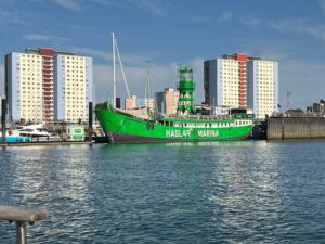
Portmouth to Dover
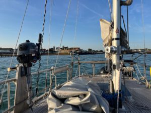
Yarmouth to Portmouth
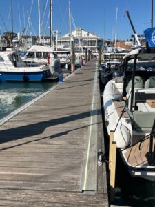
Cowes to Yarmouth
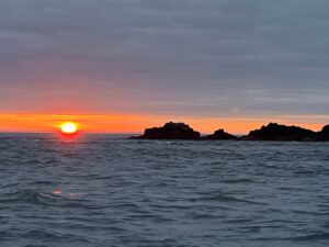
Sark to Cowes
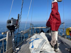
St. Peter to Sark
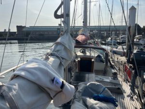
Cherbourg to St. Peter Port
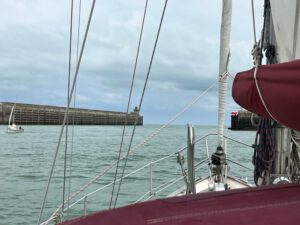
Dieppe to Cherbourg
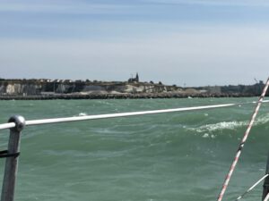
Boulogne to Dieppe
Calais to Boulogne sure Mer
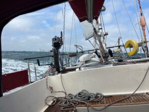
Dover to Dunkerque => Calais
📢 Vaarweginformatie
🌊 England & Wales (Küste) · 18
Downs Lighted Buoy · Trinity House NtM 12/2026
Red buoy in Downs fairway (51° 14.505'N, 001° 26.226'E) permanently replaced with red pillar buoy with red can topmark. All other characteristics unchanged.
vanaf 26.05.North Foreland Lighthouse · Trinity House NtM 8/2026
Scheduled works at North Foreland Lighthouse (51° 22.494'N, 001° 26.705'E) postponed from 9 March 2026. No alterations to light until further notice. NtM 40/2025 cancelled.
vanaf 16.03.Inger Nielson Lighted Buoy · Trinity House NtM 2/2026
Toon nog 3 ▾Buoy permanently removed from station and discontinued. Position: 54°30.905'N 002°36.325'E.
vanaf 19.01.+12 …
Bron: Rijkswaterstaat · ELWIS/WSV · Søfartsstyrelsen · Sjöfartsverket · HHI · Guardia Costiera · HNHS · Armada/NAVAREA III · Instituto Hidrográfico (PT) · EuRIS · Canal & River Trust · Trinity House · Northern Lighthouse Board · Irish Lights · USCG NAVCEN · NGA MSI · Canadian Coast Guard · Transport for NSW · Japan Coast Guard/JHOD · SHN (AR) · SHODB (TR) · Traficom/Fintraffic (FI) · Stand 19.08.2026 18:50 · Alle berichten →
⚓ Vervangt niet de officiële berichten aan zeevarenden — de originele bronnen zijn leidend; geen garantie op volledigheid en actualiteit.
🌡️ Waterstanden
mAOD +182 cm
Sheerness (Themse-Mündung)
mAOD -367 cm
Dover
mAOD +73 cm
Newhaven
mAOD +105 cm
Portsmouth
mAOD +66 cm
Harwich
mAOD -1 cm
Lowestoft
mAOD -98 cm
Cromer
mAOD -70 cm
Immingham (Humber)
mAOD +104 cm
Whitby
mAOD +29 cm
Weymouth
PEGELONLINE · WSV · Environment Agency (OGL v3) · Stand 18:50
🌬️ Zeeweer
Südwestliche Nordsee: Wind SW 3 to 5 Bft, gusts 7 Bft, waves up to 1.3 m, temperature 18 to 19 °C — next 24 h, model: Open-Meteo
DWD Seewetterbericht / Open-Meteo-Modell · Stand 19.08. 18:50